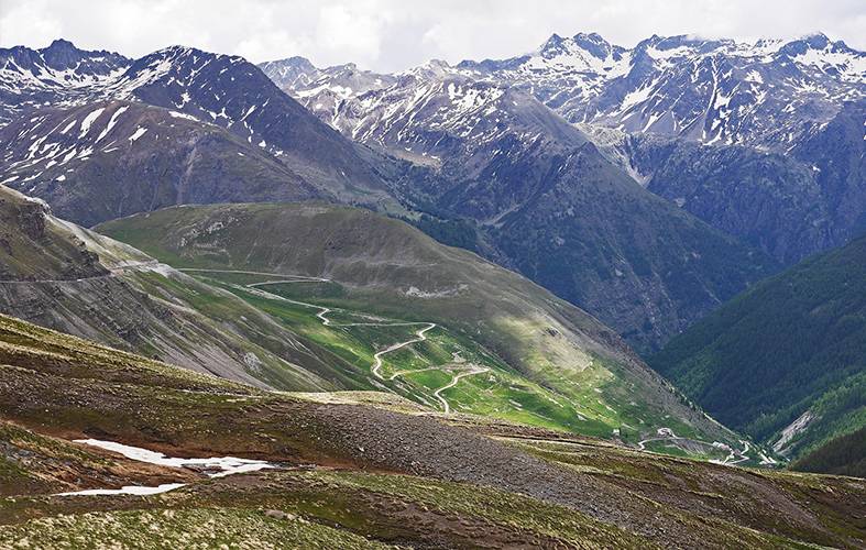
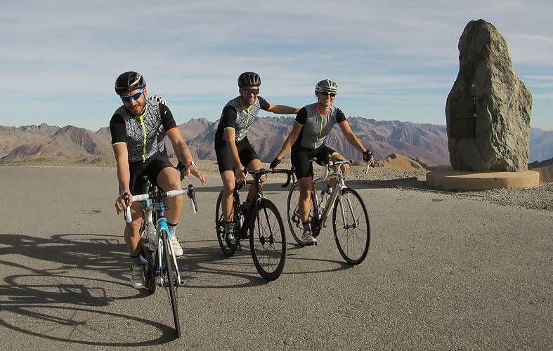
All cyclist from the French Riviera has already climbed, or heard about the Col de la Bonette! The highest road in Europe (2802 meters), represents an unmistakable link between the Mediterranean and the Alps, an opening way that comes from the North, Valley Ubaye or South, Valley Tinée. Impossible to remain impassive in front of snowy peaks, veiled panoramas or plunging valleys.
Discover the Bonette by the G4 team. And you should believe us, with its three sides, this mountain pass is full of surprises!

1st slope, departure from St Etienne de Tinée:
After parking at Saint Etienne de Tinée, do not hesitate to turn your legs in the valley before attacking the ascent. Climbing by this side is a treat but it is also the longest one: 26km!
The climb is divided into 3 parts:
St Etienne-Le Pra, with about 5.6% average slope, the first part of the ascent is not very difficult and will be the continuation of your warm-up! However, you should take care in this part to not spend too much vital energy for the future.
Le Pra- Camp des Fourches, on this stretch, the slope increases just after the Pra and remains high until the Forks Camp. With a slope of 7%, u will have still power to deal with this passage that can be fatal!
Camp des fourches- Sommet, after a small recovery on a flat part at the Camp des Fourches, the road rises again and reaches 10% over 1km. Until the finish, the slope will be irregular and this is the difficulty of this third portion. If you think you have the right cane in the flatter parts, you will quickly be brought to reality on the passages at 13% (especially in the last km). Once up, you deserve a good break to marvel at the fabulous scenery. Smile, you are on the roof of Europe! Enjoy the view! and cover yourself for the descent!

2nd slope, departure from Jausiers:
The climb by Jausiers has a distance of 24km to 6.6% average. The climb is divided into 3 sections too!
Jausiers-La Prégonde is the moment to enjoy a gentle slope to warm the legs.
La Prégonde- Caserne de restefond, here, no more warm-up, serious things begin. After the Prégonde, 6km with an average percentage between 7 to 9% as you can think, it will be the most difficult sections, you will probably leave your legs in the climb.
Caserne de restefond- sommet, are the last 3 kilometers of the climb, and luckily these are the easiest, you should give what you have left to finish strong, stay focus about last 800 meters which are around 13%.
3rd slope: Departure from St Dalmas le Selvage:
This is the least known side of the three, but not least! You have to take the Moutière pass for 11km quite steep. You will then have to take a gravel road of 3km, which gives a folk side to the ascent. The thrill-seekers and adventure bikers this slope is for you!

Here you know everything about the top of La Bonette! It’s a jewel for cyclo-climbers from all over the world! The G4 team strongly advise you to discover this road pass that is really worth it!
Also note that Le Col de la Bonette is famous because it was the subject of a time trial in the hill “La Bonette Trophy” last June which brings together a lot of enthusiasts, with the exceptional participation of professional runners such as Warren Barguil and Amael Moinard are both parts of the Fortuneo-Samsic team!
Do not hesitate ! Come conquer La Bonette!


No Comments
Leave a comment Cancel